

-

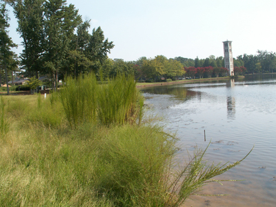
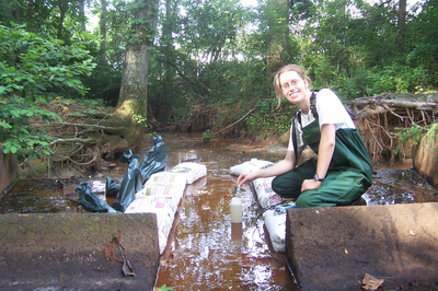
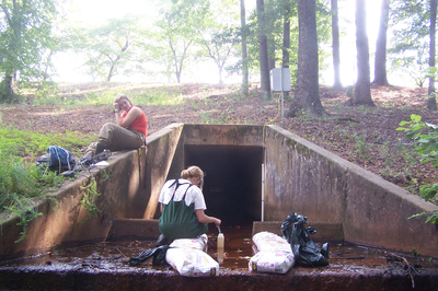
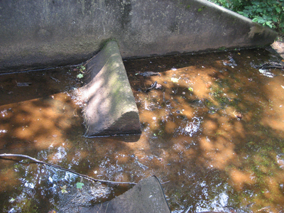
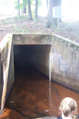
Furman Lake outlet
Students collected water samples from this outlet weekly for analysis during the summer of 2007.
-

Furman Lake outlet
Students collected water samples from this outlet weekly for analysis during the summer of 2007.
-

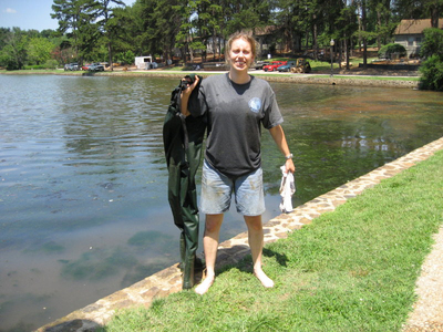
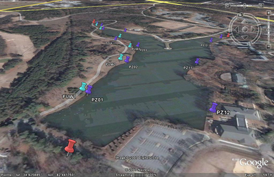
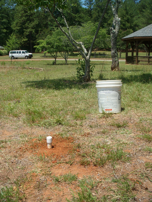
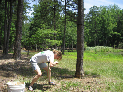
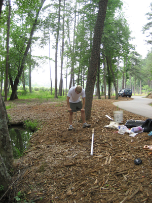
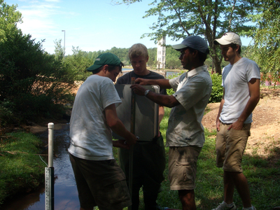
Groundwater monitoring well
Furman students in the EES 230 Watershed Hydrology class by the lake installing a groundwater well to monitor subsurface water.
-

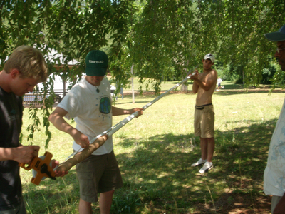
Groundwater well construction
Furman students in the EES 230 Watershed Hydrology class constructing a groundwater well to monitor subsurface water.
-

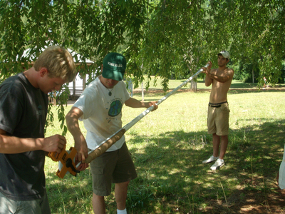
Groundwater well construction
Furman students in the EES 230 Watershed Hydrology class constructing a groundwater well to monitor subsurface water.
-

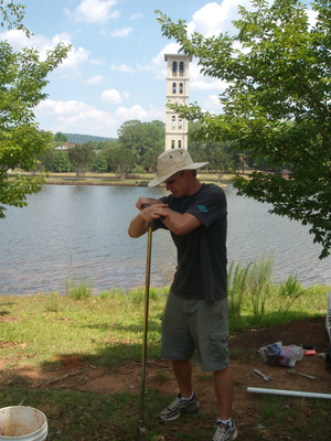
Groundwater well construction
Furman student drilling into the ground to construct a groundwater monitoring well by the Furman Lake.
-

Groundwater well construction
Furman student drilling into the ground to construct a groundwater monitoring well by the Furman Lake.
-

Groundwater well construction
Furman student drilling into the ground to construct a groundwater monitoring well by the Furman Lake.
-

Groundwater well construction
Furman student drilling into the ground to construct a groundwater monitoring well by the Furman Lake.
-

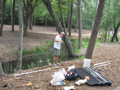
Groundwater well construction
Furman student drilling into the ground to construct a groundwater monitoring well by the Furman Lake.
-

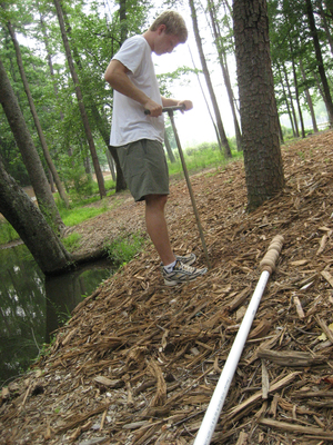
Groundwater well construction
Furman student drilling into the ground to construct a groundwater monitoring well by a stream near the Furman Lake.
-

Groundwater well construction
Furman student drilling into the ground to construct a groundwater monitoring well by a stream near the Furman Lake.
-

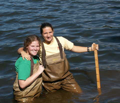
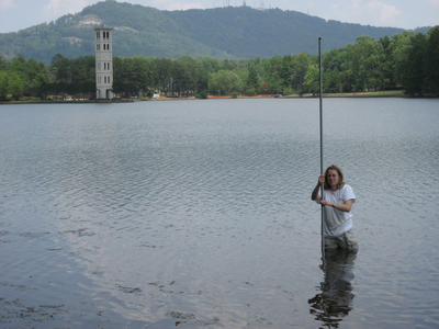
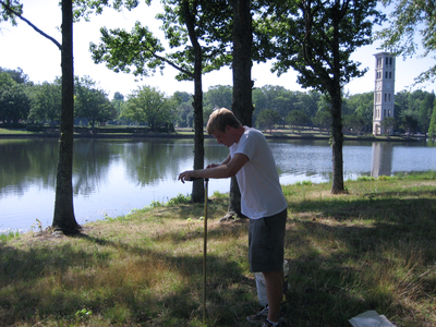
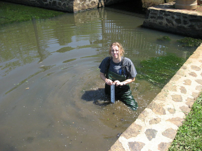
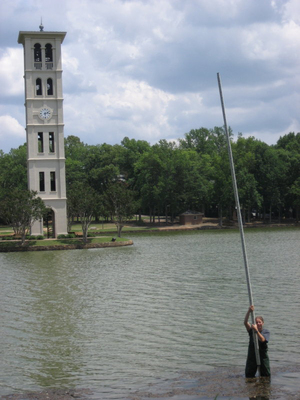
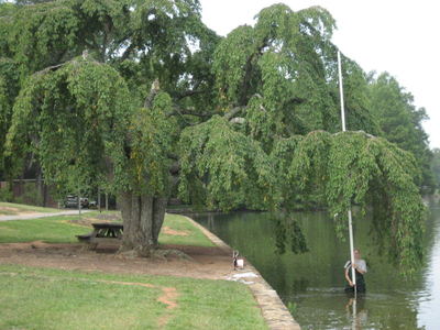
Lake surveying
A student in the water holding a vertical staff to assist in surveying the Furman Lake and surrounding area.
-

Lake surveying
A student in the water holding a vertical staff to assist in surveying the Furman Lake and surrounding area.
-

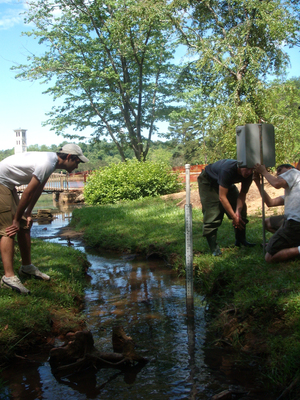
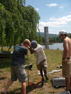
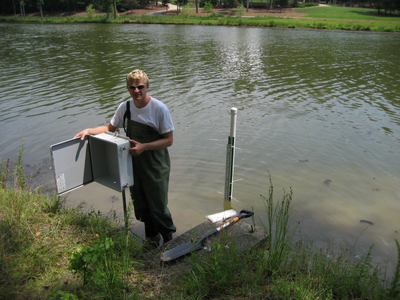
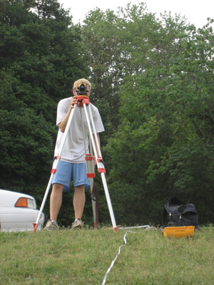
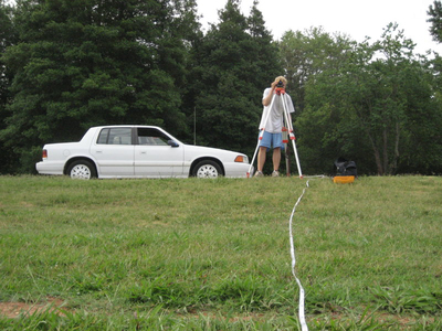
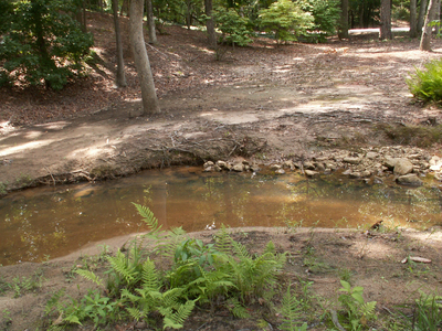
Stream level monitoring
Furman students in the Earth and Environmental Sciences 230 Watershed Hydrology class setting up equipment for stream level monitoring.
-

Student research
Furman student on a boat riding the lake recording the depth levels at different points.
-

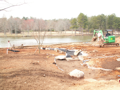
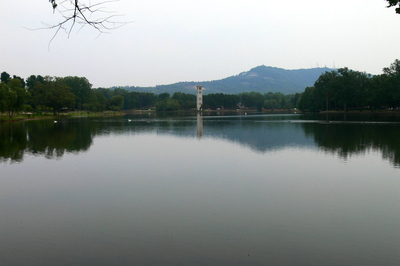
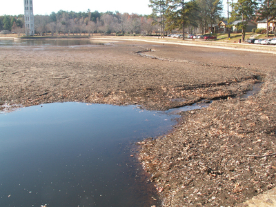
Low water level
A view of the Furman Lake with the water level lowered. The lake was lowered for dredging to completely clear it of algae and sediments. Afterwards, preventive measures would be installed to decrease future surface runoff and siltation.
-

Low water level
A view of the Furman Lake with the water level lowered. The lake was lowered for dredging to completely clear it of algae and sediments. Afterwards, preventive measures would be installed to decrease future surface runoff and siltation.
-

Low water level
A view of the Furman Lake with the water level lowered. The lake was lowered for dredging to completely clear it of algae and sediments. Afterwards, preventive measures would be installed to decrease future surface runoff and siltation.
-

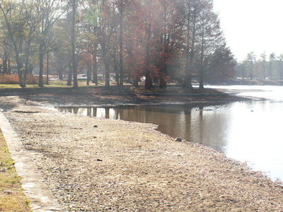
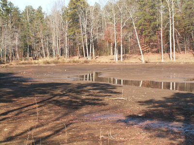
Low water level in Furman Lake
A view of the Furman Lake with the water level lowered. The lake was lowered for dredging to completely clear it of algae and sediments. Afterwards, preventive measures would be installed to decrease future surface runoff and siltation.
-

Low water level in Furman Lake
A view of the Furman Lake with the water level lowered. The lake was lowered for dredging to completely clear it of algae and sediments. Afterwards, preventive measures would be installed to decrease future surface runoff and siltation.
-

Low water level in Furman Lake
A view of the Furman Lake with the water level lowered. The lake was lowered for dredging to completely clear it of algae and sediments. Afterwards, preventive measures would be installed to decrease future surface runoff and siltation.
-

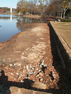
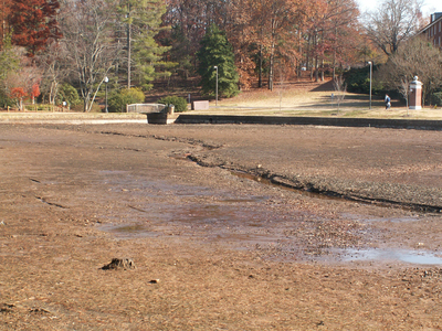
Shallow lake
A view of the Furman Lake with the water level lowered. The photograph shows how shallow the lake was prior to the restoration project. The lake was lowered for dredging to completely clear it of algae and sediments. Afterwards, preventive measures would be installed to decrease future surface runoff and siltation.
-

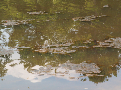
Algal mats close up
Agal mats on the Furman Lake. High water temperature due to the lack of vegetation along the shoreline, and shallow water, stimulate algal and bacteria growth.
-

Algal mats on Furman Lake
Agal mats on the Furman Lake. High water temperature due to the lack of vegetation along the shoreline, and shallow water, stimulate algal and bacteria growth.
-

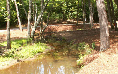
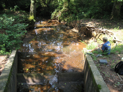
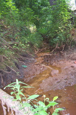
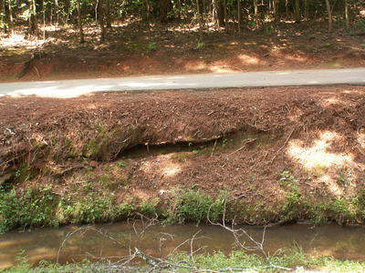
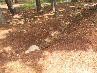
Bank erosion
Bank erosion by a stream near the Furman Lake caused by lack of shoreline vegetation and surface runoff.
-

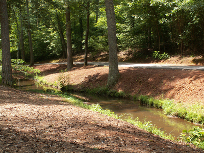
Banks along stream
Banks along a stream that feeds into the Furman Lake in 2006, prior to revegetation. Lack of shoreline vegetation, as seen in photo, causes surface runoff.
-

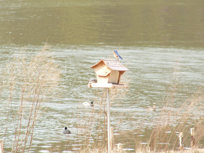
Bluebirds at birdbox
A male bluebird seen feeding at a birdfeeder along the shore of the Furman Lake.
-

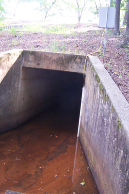
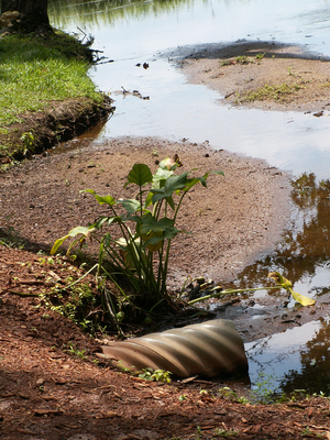
Drainpipe before lake restoration
Parking areas, lawns, and roadways in the Furman Lake’s watershed had storm drains like this one that emptied directly into the lake or the two tributary streams. This eroded the lakeshore or stream bank at the point of entry, and contributed nutrients and sediments to the lake and streams.
-

Drainpipe in 2006
In 2006 lawns in the Furman Lake’s watershed have storm drains like this one that emptied directly into the lake or the two tributary streams. This eroded the lakeshore or stream bank at the point of entry, and contributed nutrients and sediments to the lake and streams.
-

Drainpipe near lake in 2006
In 2006 lawns in the Furman Lake’s watershed have storm drains like this one that emptied directly into the lake or the two tributary streams. This eroded the lakeshore or stream bank at the point of entry, and contributed nutrients and sediments to the lake and streams.
-

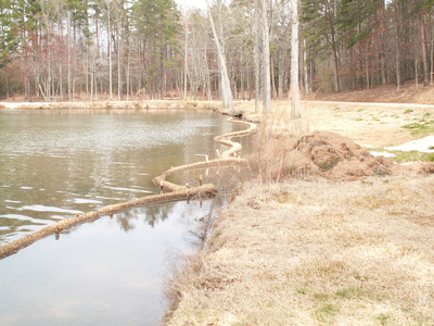
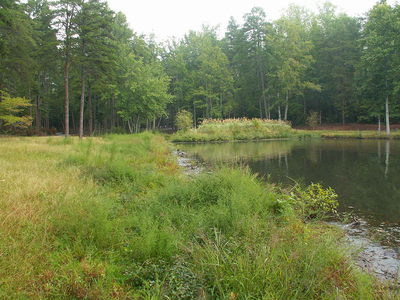
Erosion around Lake
Banks along the Furman Lake in 2006, prior to revegetation. Lack of shoreline vegetation, as seen in photo, causes surface runoff.
-

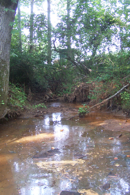
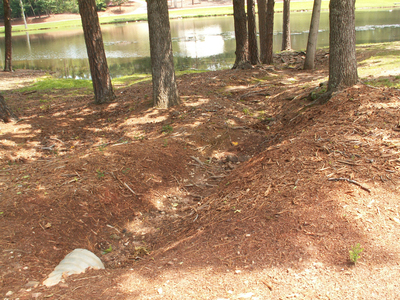
Erosion on stream
Banks along a stream that feeds into the Furman Lake in 2006, prior to revegetation. Lack of shoreline vegetation, as seen in photo, causes surface runoff.
-

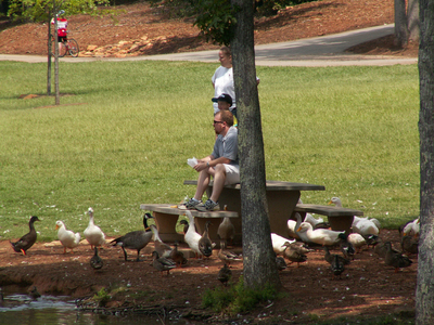
Feeding the waterfowl
Public feeding waterfowl around the Furman Lake. Large populations of waterfowl can contribute to the nutrient and bacterial loading of lakes. On 3 July 2006, there were 362 waterfowl on 28-acre Furman Lake; six times the appropriate density for a lake this size.
-

Full sediment trap
Sediment filling up the Furman Lake made it shallower and warmer, causing algal and bacteria growth.
-

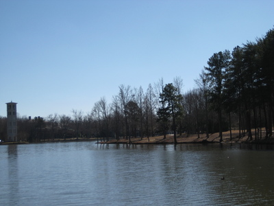
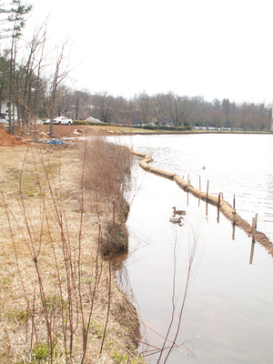
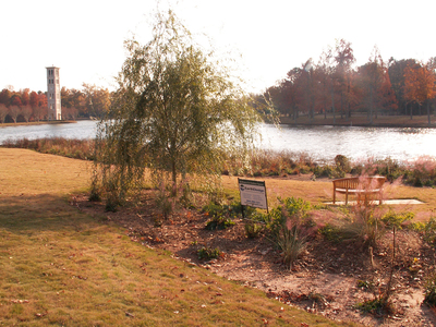
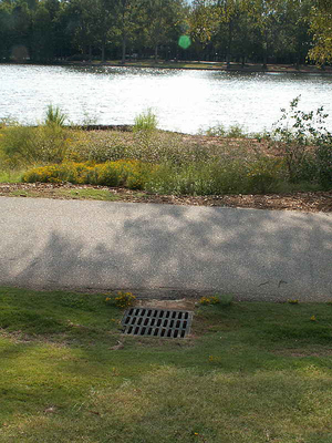
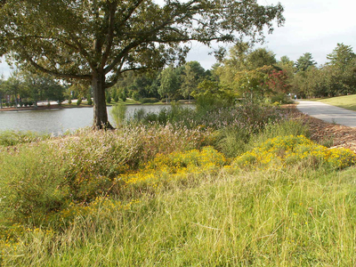
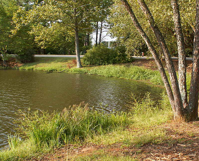
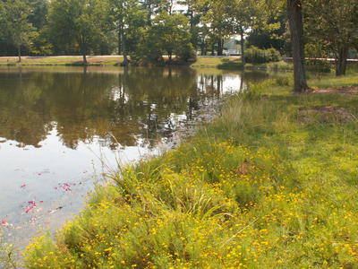
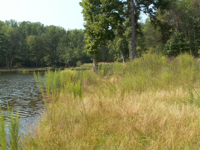
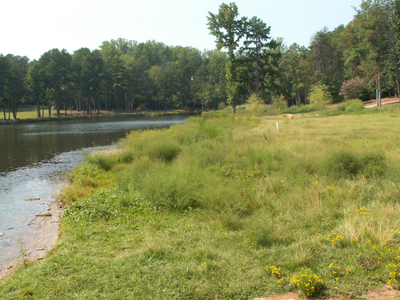
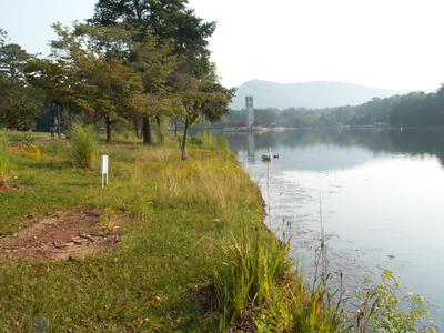
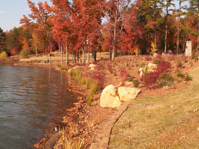
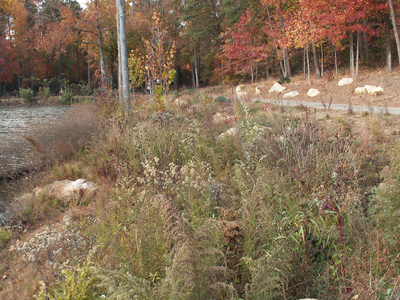
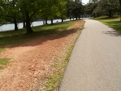
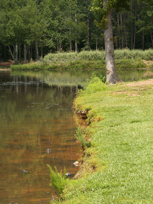
Furman Lake shoreline
Photograph of the Furman Lake shoreline in 2006, before revegetation. The grass is mowed to the shoreline and there is a lack of shoreline vegetation which causes surface runoff.
-

Furman Lake shoreline
Photograph of the Furman Lake shoreline in 2006, before revegetation. The grass is mowed to the shoreline and there is a lack of shoreline vegetation which causes surface runoff.
-

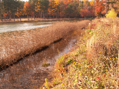
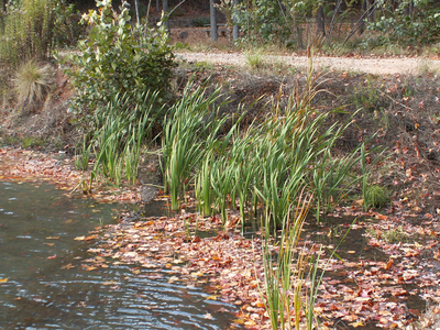
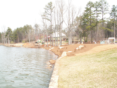
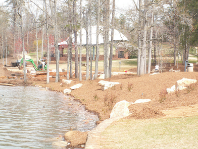
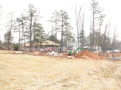
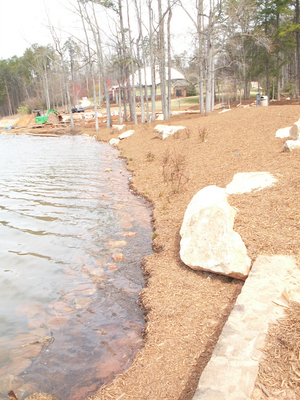
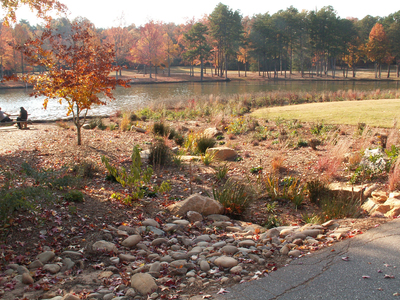
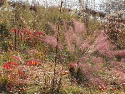
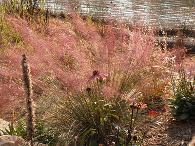
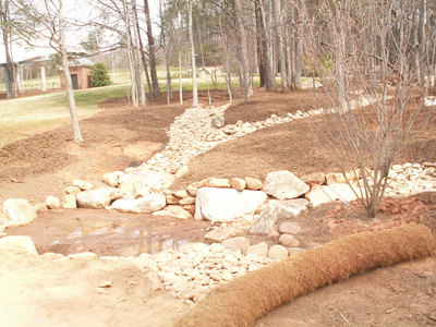
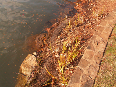
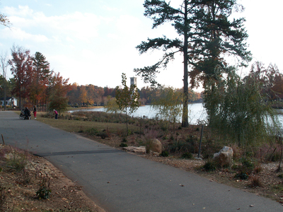
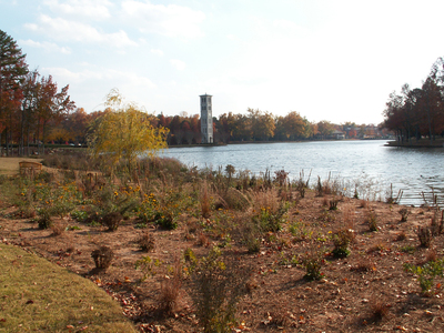
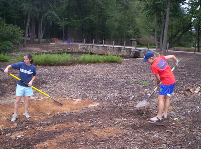
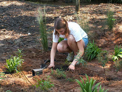
Furman students constructing a rain garden
Furman students install a rain garden with a grant from the National Wildlife federation. Rain gardens are deep depressions filled with layers of sand and gravel. Plants tolerant of drought and flooding are used to filter the water contained in the garden. After a storm event, water is held in the garden and percolates more slowly and naturally into the lake.
-

Installing new plants
Furman students install a rain garden with a grant from the National Wildlife federation. Rain gardens are deep depressions filled with layers of sand and gravel. Plants tolerant of drought and flooding are used to filter the water contained in the garden. After a storm event, water is held in the garden and percolates more slowly and naturally into the lake.
-

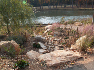
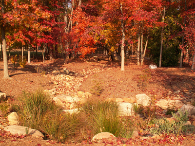
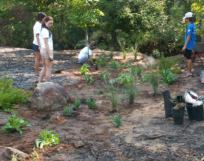
Rain garden construction
Furman students and staff install a rain garden with a grant from the National Wildlife federation. Rain gardens are deep depressions filled with layers of sand and gravel. Plants tolerant of drought and flooding are used to filter the water contained in the garden. After a storm event, water is held in the garden and percolates more slowly and naturally into the lake.
Printing is not supported at the primary Gallery Thumbnail page. Please first navigate to a specific Image before printing.


